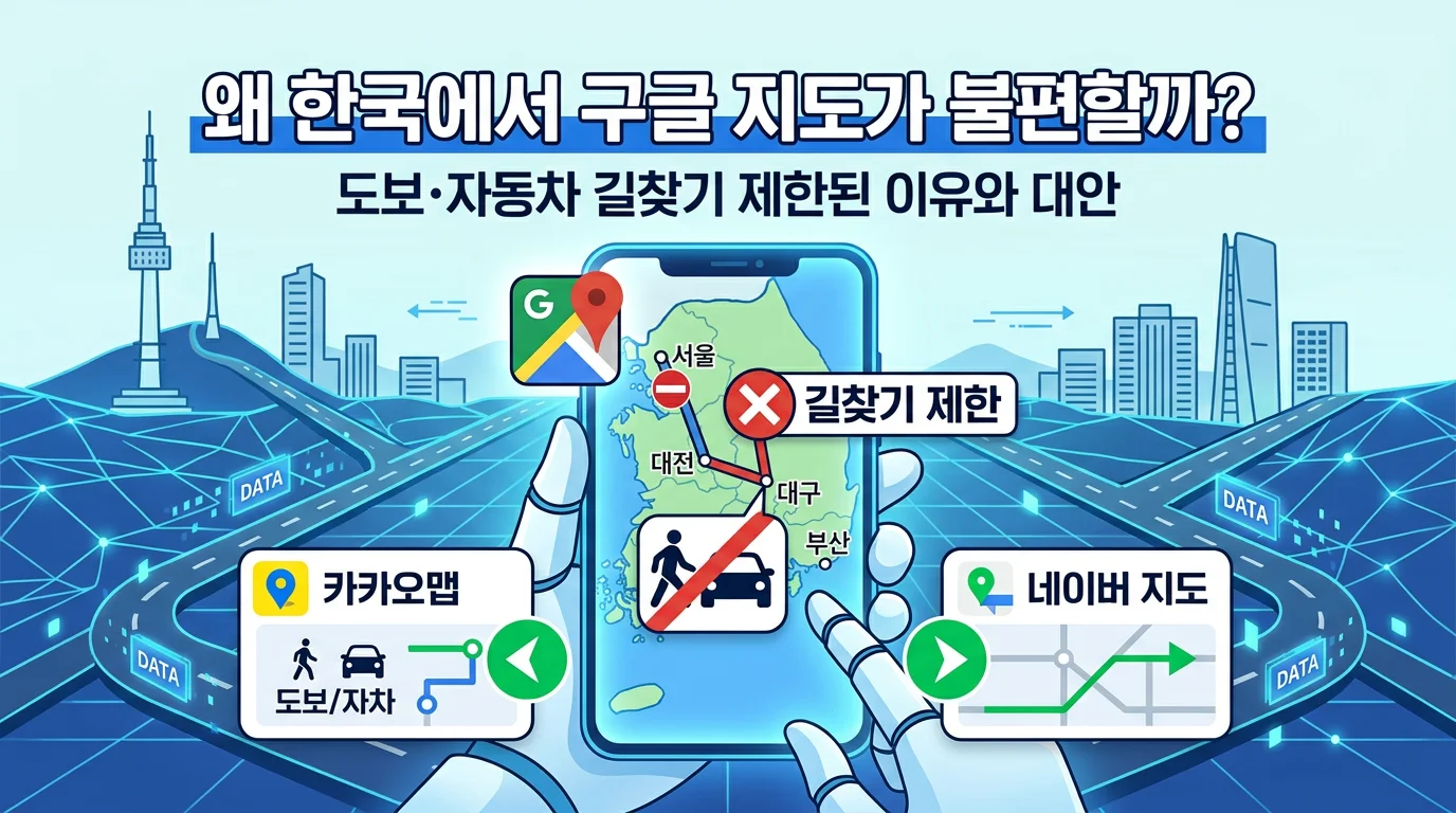
🗺️ Why Is Google Maps Inconvenient in Korea? — Why Walking & Driving Directions Are Limited, and What to Use Instead
⚠️ Note: The information below is current as of July 2026. Google Maps policies and features have been changing quickly (the government's conditional export approval in early 2026), so the situation may differ by the time you visit. Please update the app to the latest version and check for yourself before relying on it.
⏱️ 30-Second Summary — Just Remember This!
🚫 The issue → Walking & driving directions are limited in Google Maps in Korea
🛡️ Main background → Export of Korea's detailed 1:5,000 national base map has long been restricted
🕰️ History → Google first requested map export in 2007 and was denied again in 2016
🆕 2026 → On Feb 27, the government approved export under strict security conditions
⏳ Caution → Export approval ≠ a Google Maps feature launch; the release date is undecided
📱 Direction alternatives → Naver Map or KakaoMap
🚕 Hailing a taxi → Kakao T
💡 Travel tip → Use Google Maps to save places; use local apps for actual navigation
1. 🚫 What exactly doesn't work?
When you open Google Maps in Korea, the map itself shows up and place search works to some extent. But the moment you tap "how do I get from here to there?", you hit a wall. Specifically, car navigation, walking directions, and cycling routes are mostly unavailable. Google Maps can show some public-transit routes, but real-time arrival info and detailed transfer guidance can be more limited than on Naver Map or KakaoMap. You can see a landmark's location on the map, but not getting step-by-step walking guidance is the biggest inconvenience.
2. 🛡️ The biggest background — restrictions on exporting the detailed national base map
The biggest institutional background is the restriction on exporting map data. For national security reasons, Korea has long restricted sending abroad the detailed national base map — what the government's announcement calls the "1:5,000 high-precision map."
Domestic services like Naver Map and KakaoMap can use the approved domestic map data within Korea. Google, however, needed an export permit to process that same data on its global server-based service, and without approval it faced constraints in offering the same level of detailed route guidance as local apps.
That said, an actual navigation service needs more than raw map data — it also requires road-network building, real-time traffic integration, and address/place data management. Export restrictions are the biggest background, but not the only factor.
3. 🕰️ Why has this dragged on so long?
This isn't a recent issue — it has continued for nearly two decades. Google first requested export of the 1:5,000 map data in 2007 but was denied; its second request in 2016 was also rejected over national security concerns. After a third application in 2025, conditional approval was decided in February 2026.
The two main sticking points were how to blur security facilities such as military bases on the map, and how the map data would be handled on servers and managed. Korea's unique security environment — over 70 years of division and armistice — also lies in the background.
4. 🌍 Why won't a lower-resolution map do?
You might think, "then just use a less detailed map." But that doesn't really work. A 1:25,000 map, for example, means 1 cm represents 250 m in reality — far too little detail for accurate walking or driving guidance in Korea's densely packed city streets. Practical navigation really needs a detailed map, and it was exactly the export of that data that was blocked.
5. 🆕 In 2026, an important change has begun
On February 27, 2026, the Korean government approved the overseas export of Google's 1:5,000 map data under strict security conditions. It's a landmark shift about 19 years after Google first requested map export in 2007.
However, this decision does not mean Google Maps' walking and driving directions started immediately. Google's domestic partner must process the raw data on servers within Korea, blur military and security facilities, and only limited information that passes government review can be exported abroad. Conditions such as coordinate-display limits and setting up a security-incident response system must also be met.
Data export proceeds after the government confirms the conditions are met, and when — and to what extent — Google actually offers the navigation features afterward depends on Google's development and service schedule. So it's most accurate to see this as a transitional period: the policy barrier has been partly lifted, but a feature-launch date is still undecided. (Timing and scope may change, so check for yourself when you visit.)
6. 📱 So what should you use?
Right now, the most reliable approach in Korea is to use Naver Map and KakaoMap.
Naver Map has rich place search, photos, reviews, walking routes, and public-transit guidance, making it a great primary map app for foreign travelers. It also shows subway exit numbers and transfer details, and supports foreign-language environments such as English, Japanese, and Chinese.
KakaoMap is useful for checking bus/subway routes, nearby places, and road conditions together. Its mobile app supports an English interface, though some place names, addresses, and reviews may still appear in Korean.
To hail a taxi, it's common to use Kakao T (a separate app from the map apps). It provides fare estimates and hailing, but whether you can sign up, complete phone verification, and use auto-payment depends on your account and payment method — so check in advance.
7. 💡 Situational tips
Naver Map is handy when you want to search places and see reviews and photos; KakaoMap is also good for bus/subway routes and nearby places. To call a taxi, use the separate Kakao T app. Most apps are free, so install them ahead of time. Google Maps is still useful for saving and searching places, so a good combo is to save your itinerary in Google and navigate with local apps.
❓ Frequently Asked by Foreigners (FAQ)
Q. Does Google Maps not work at all? A. No — viewing the map and searching places do work. The core inconvenience is that walking and driving directions are limited.
Q. Can I use local apps in English? A. Naver Map supports foreign-language environments like English, Japanese, and Chinese, and KakaoMap's mobile app supports an English interface. Still, some place names, addresses, and reviews may appear in Korean.
Q. Can I use them without a Korean phone number? A. Basic place search and directions on KakaoMap and Naver Map work without logging in for the most part. However, taxi hailing and auto-payment on Kakao T may require phone verification, an account, or a registered payment method.
Q. How do I call a taxi? A. It's common to hail one in the Kakao T app rather than a map app. It provides fare estimates and hailing.
Q. So will Google Maps be fully unlocked in 2026? A. Map-data export was conditionally approved in February, but that doesn't immediately mean a navigation-feature launch. The official release date is still undecided, so for now it's safest to keep local apps ready too.
🗣️ Handy English Phrases On-Site
"Google Maps doesn't give walking directions here — I use Naver Map."
"Can you help me call a taxi on Kakao T?"
"Which subway exit should I take?"
✅ Quick Checklist
📥 Install Naver Map and KakaoMap before or after arrival
🚕 If you'll need a taxi, install and verify the Kakao T app in advance
🌐 Change the app language to English (or your preferred language) in settings
🔎 Save destinations in Google Maps; navigate with local apps
🔄 Update Google Maps to the latest version to check whether features have opened up
🟦 This guide was compiled by the CultureHub team.
📅 As of: 2026 · ⚠️ Fees, English support, information, and operations may change by season, app, and policy.
CultureHub does not endorse any specific business or app. Before use, please check each service's official channels and app stores for the latest information. Map-data export approval and an actual Google Maps feature launch are separate matters, and related policies and features are fluid as of 2026 — we recommend checking the real app status at the time of your visit.